Go Outside and Do Things
 RIO GRANDE del NORTE NATIONAL MONUMENT, EMBUDO, NEW MEXICO — The river that forms part of the boundary between Texas and Mexico begins its nearly 2,000-mile journey into the Gulf of Mexico in south-central Colorado. As it enters northern New Mexico, the raging river cuts through 800-foot gorges. Those gorges are located on nearly a quarter-million acres of public lands in Taos County that were proclaimed a national monument in 2013 by President Obama.
We have arrived on a Sunday afternoon to hike from the rim of the gorge to the confluence of the Red River and the Rio Grande del Norte. This is a different, shorter — and prettier — Red River from the clay-colored stream that serves as a partial boundary between Oklahoma and Texas, and later hosts the casino boats in Bossier City, La. The New Mexico Red River’s headwaters lie on the north slope of Mount Wheeler; the entire river is contained within Taos County.
The weather is gorgeous — 75 degrees, blue skies and a perspiration-drying breeze. At 7,500 feet, the elevation certainly is higher than what my Beautiful Mystery Companion and I are used to, but we plan to take it slowly. We begin our descent down the Little Arsenic Springs trail after a visit to the gift shop, purchase of a couple of shirts and decals and get free advice from the ranger on duty. Later research indicates there is no arsenic streaming into the Rio Grande del Norte from either the Little Arsenic Spring or its larger sibling, the Big Arsenic. In the course of a mile, we’re dropping from 7,496 feet elevation down to 6,775. From there, we will follow the Rio Grande del Norte down what is called the River Trail for another 2.5 miles to the confluence of the two rivers. At least that’s the plan, a pleasant 5-mile hike.
I have had a decades-long debate with myself and fellow hikers about which is more difficult — descending down gravelly switchbacks, or climbing back up. It is easy to slip and slide while going down. Four-and-a-half years ago, I slipped while descending a peak in Big Bend State Park, slid about 30 feet, and smashed my ankle into a boulder — all the while safely shielding a pair of cameras from harm. Luckily no bones were broken. I have been on the ascent side of the equation since. My BMC and I both keep a firm grip on our walking sticks to keep our balance.
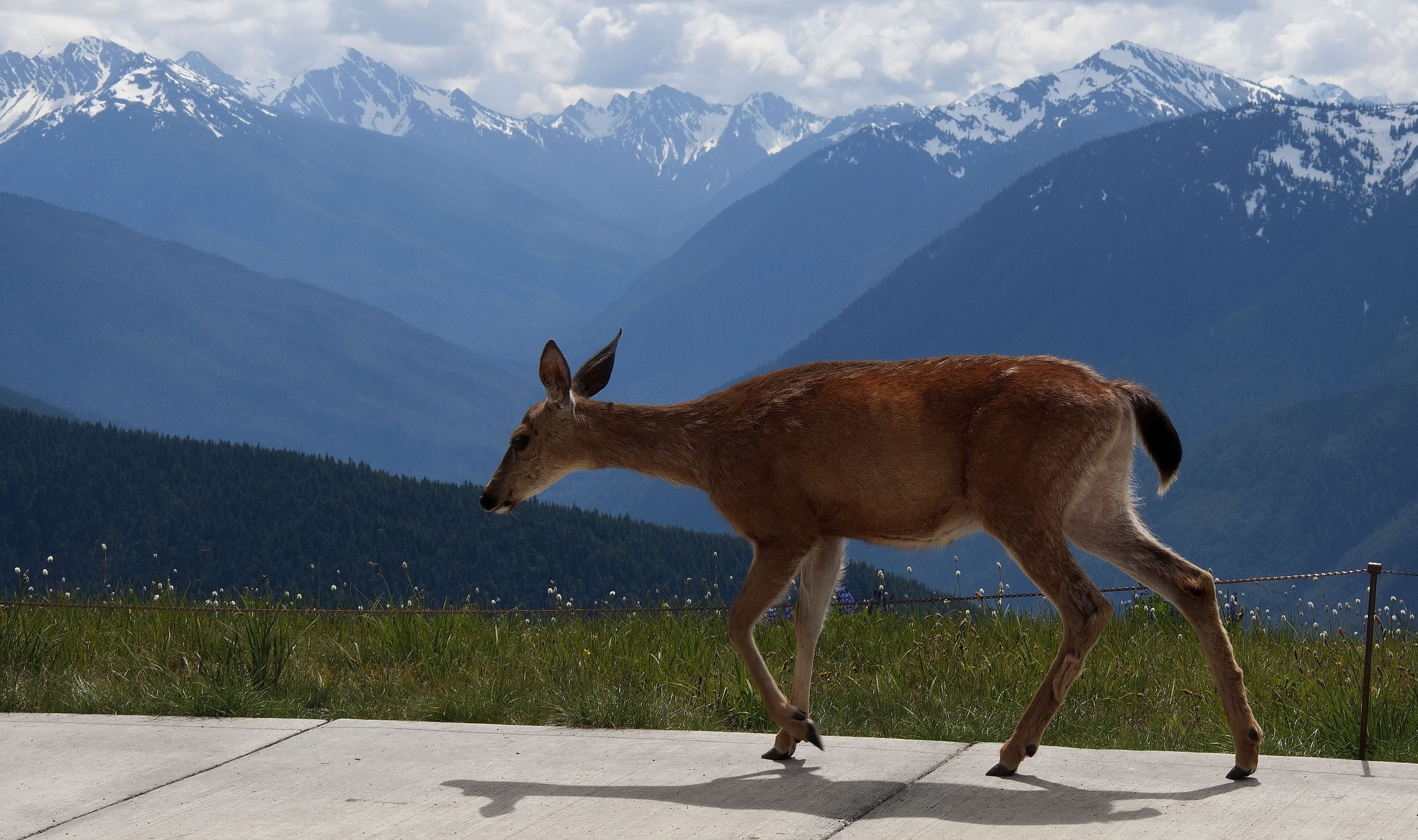
We get to the Little Arsenic Campground and savor the river, which is roaring by. There is no one around, nobody camping down here. I scan the gorge across the river in vain for bighorn sheep, which we spotted last year while at a different part of the gorge. Sage grows between the rocks, and ponderosa pines abound. The breeze brings wonderful scents our way as we rest before beginning the trek to the confluence.
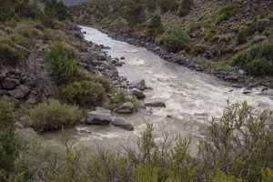
There invariably comes a time during our ventures into the wilderness when we begin to doubt whether we are hiking in the right direction. That moment arrived when the River Trail appeared to abandon the river, which did not appear to be a good sign. I volunteered to scramble up the next set of switchbacks in search of a sign. Directional signs are a rare commodity on Bureau of Land Management trails, I have learned. But I found one that indicated we were indeed headed toward the confluence. My BMC rejoined me. Soon we spotted another gorge to our left, while the Rio Grande del Norte remained on our right. It was the Red River, making its way down to meeting its end, a spot that in the fall makes for some great trout fishing, I later read.
We arrived shortly after at the confluence, the water’s noise forcing ourselves to nearly shout to be heard over it. There is something humbling and spiritual about watching such a sight, millions of gallons of water cascading down, a small portion of which will end up in the Gulf of Mexico below Brownsville. Much of the Rio Grande is captured for irrigation. Stretches in southern New Mexico actually dry out when the winter snowfall is light. Climate change appears to be worsening the situation. It is only when the Rio Concho flows into the Rio Grande near Presidio in West Texas that this river — a symbol of both division and unity depending on one’s viewpoint (I prefer the latter) becomes a full-fledged river again.
After a nice respite and the requisite photographs, we begin our ascent. The River Trail is not terribly difficult, and we make good progress. That is, until we begin climbing up the Little Arsenic Trail. I peer upward toward the rim. Funny, it didn’t seem that high up coming down. As a friend said the other day, that trail is one mile down and three miles back. We end up stopping at the end of each switchback — maybe 75 feet — to catch our breath as the elevation rises and oxygen thins. And I consider myself to be in good shape for an old dude.
At last, I make it to the top. My BMC urged me not to wait for her, and I’m able to retrieve the Rav4, fetch fresh bottles of water, shed the backpack and walk down a few switchbacks to meet her coming up. We high-five each other as we reach the parking lot, another trail conquered.
I mentioned buying a T-shirt in the gift shop. It says, “Go Outside and Do Things.” That’s our plan.
Leave a reply
Fields marked with * are required


